map / The Province of Ulster Described, 1610
 map / The Province of Ulster Described, 1610
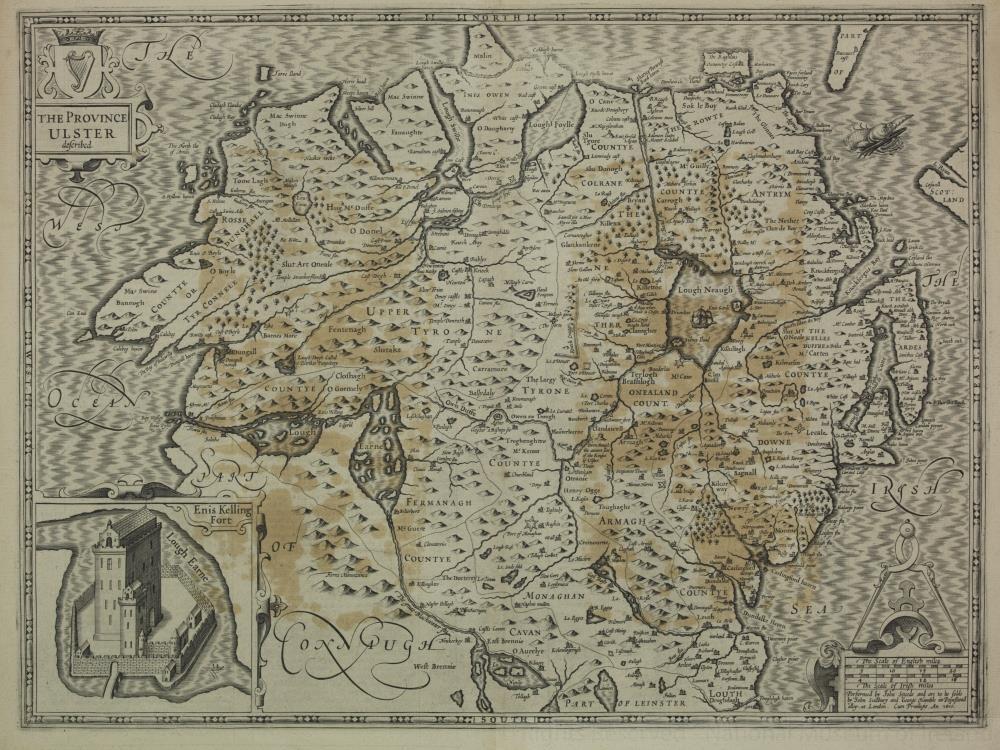
Map of Ireland, early 17th century. Titled ‘The Province of Ulster Described’. With a detail map of Enniskilling Fort at Lough Erne. Performed by John Speede and are to be sold in Pope’s Head Alley by John Sudbury and George Humble. Dated 1610.;
The Province of Ulster Described, 1610
Object Number:
HH:1905.187
Institution:
NMI
Date:
1610
Creator:
Speede, John
Place of production:
Great Britain
Collections: