atlas / New and Correct Irish Atlas, c.1825
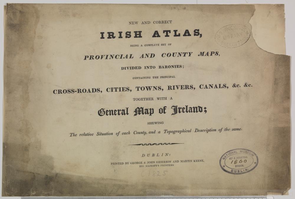
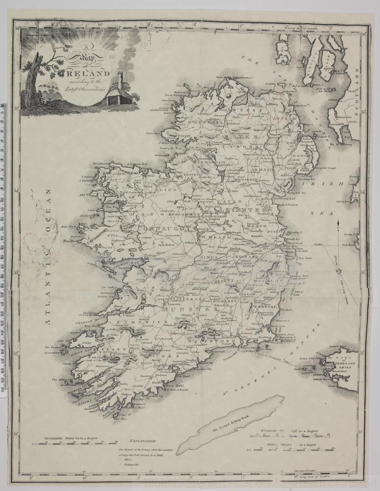
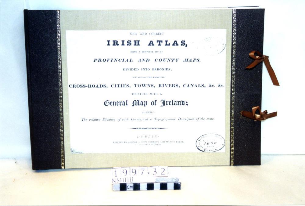
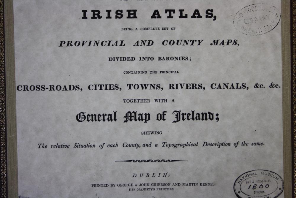
Set of Irish maps, with the title "New and Correct Irish Atlas, being a complete set of provincial and county maps, Divided into Baronies, containing the principal cross-roads, cities, towns, rivers, canals &c. &c. together with a General map of Ireland; shewing the relative situation of each county, and a topographical description of the same". Printed by George and John Grierson. c. 1825.
Stamped with a private library mark "Woodhouse Library, Sheath Park", and "National Museum of Ireland, Art & Industrial Division 1860".;
New and Correct Irish Atlas, c.1825
Object Number:
HH:2013.333 (temp)
Institution:
NMI
Date:
18001900
Creator:
Grierson, George and John
Place of production:
Ireland
Collections: