map / The Kingdom of Ireland
 map / The Kingdom of Ireland
 map / The Kingdom of Ireland
 map / The Kingdom of Ireland
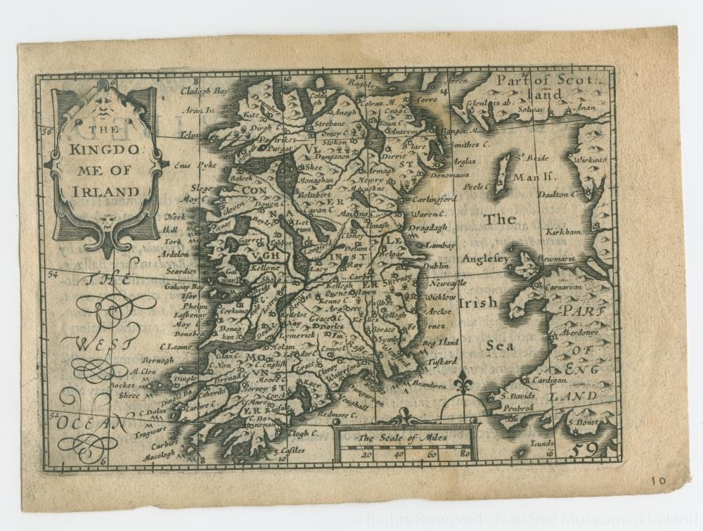
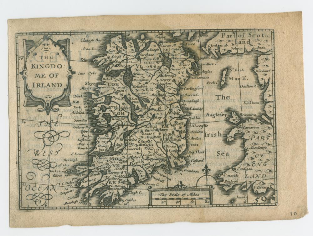
Map of Ireland, probably 18th century. Titled ‘The Kingdome of Ireland’. Also showing Part of Scotland, and Wales as Part of England. Numbered in corner 10. On back a text titled ‘Ireland Described Chapter 1’.;
The Kingdom of Ireland
Object Number:
HH:2013.334 (temp)
Institution:
NMI
Date:
17001850
Collections:
Subjects: