map / Ireland from the best Authorities
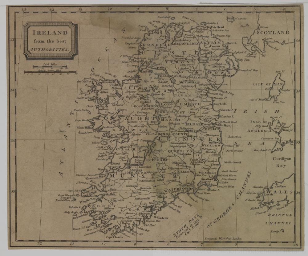 map / Ireland from the best Authorities
Map of Ireland, possibly 18th or early 19th century. Titled ‘Ireland from the best Authorities’. Numbered in corner 28.;
Ireland from the best Authorities
Object Number:
HH:2013.339 (temp)
Institution:
NMI
Date:
17001850
Collections:
Subjects: