map / Ireland, North, 1808
 map / Ireland, North, 1808
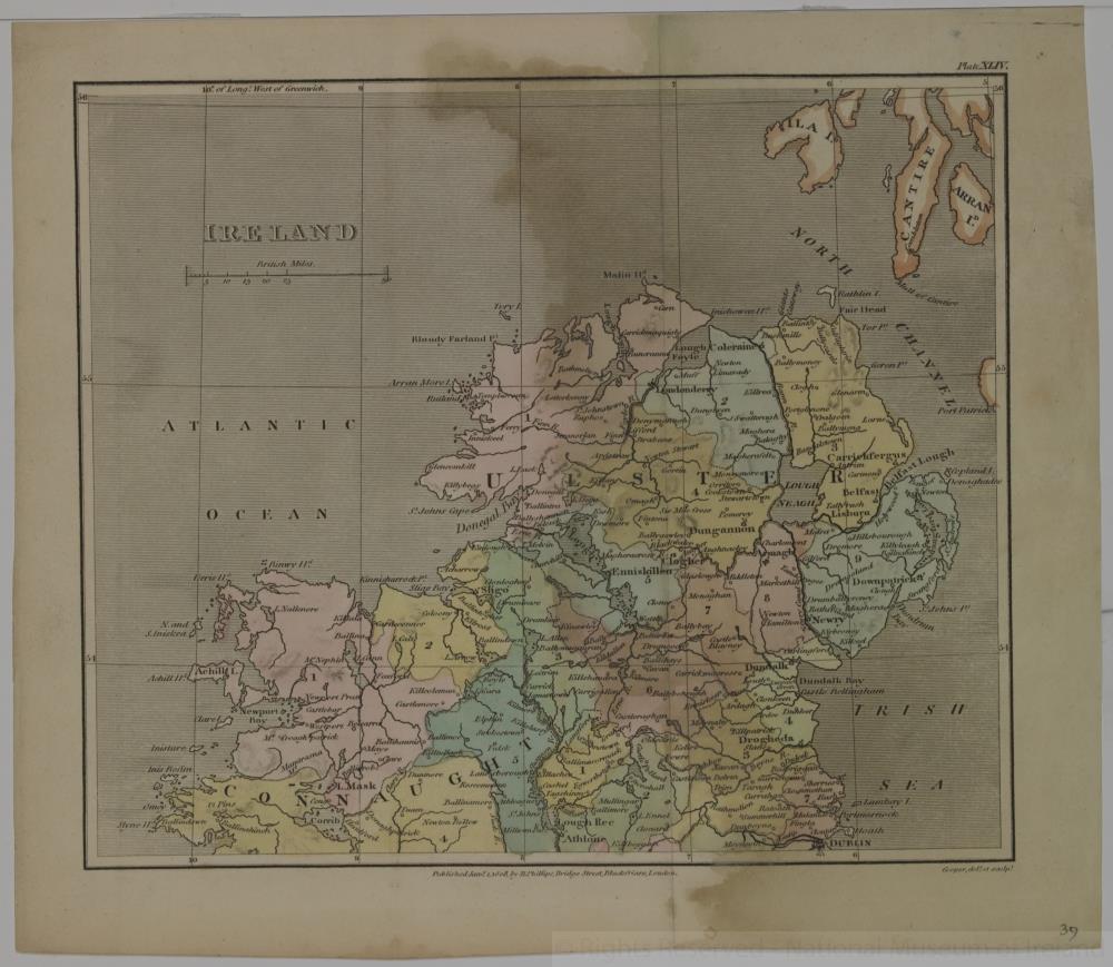
Map of Ireland, early 19th century. Titled ‘Ireland’. (North) In two parts, North and South (Plates XLIV and XLV). Published by R. Phillips, Bridge Street, Blackfriars, London, 1 January 1808. Drawn and engraved by Cooper.
Numbered in corner 39. Coloured.;
Ireland, North, 1808
Object Number:
HH:2013.343.1 (temp)
Institution:
NMI
Date:
1808
Creator:
Phillips, R.
Place of production:
Collections:
Subjects: