map / Ireland, North, 1824
 map / Ireland, North, 1824
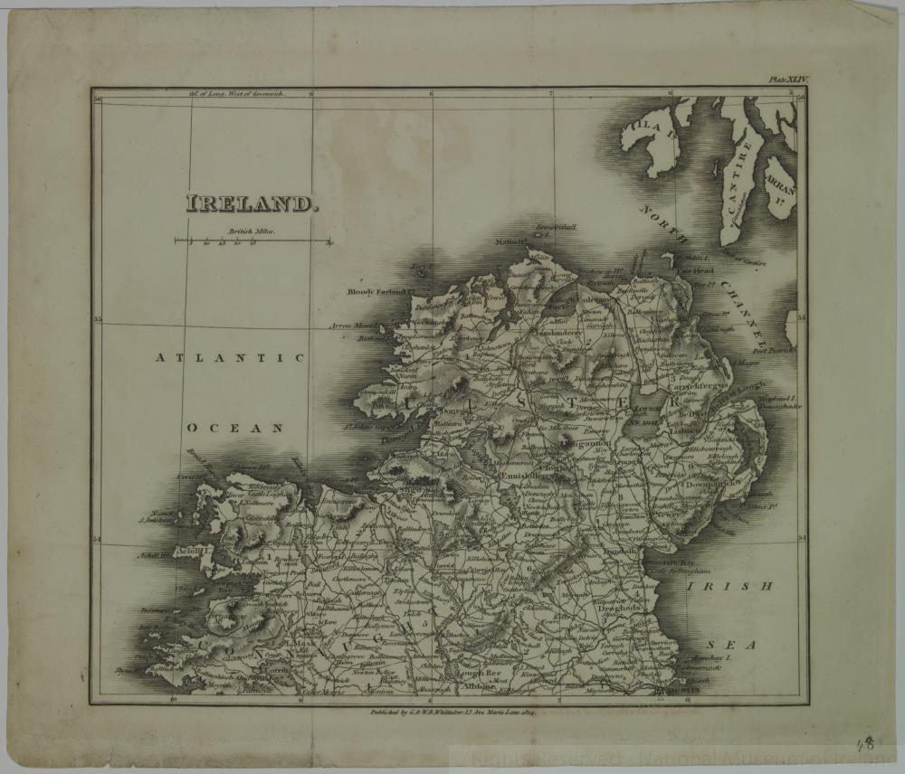
Map of Ireland, early 19th century. Titled ‘Ireland’. In two parts, North and South. Plate XLIV (North). Published by G. & W.B. Whittaker, 13 Ave Maria Lane, 1824.
Numbered in corner 48.;
Ireland, North, 1824
Object Number:
HH:2013.345.1 (temp)
Institution:
NMI
Date:
1824
Creator:
Whittaker, G. & W.B.
Place of production:
England
Collections:
Subjects: