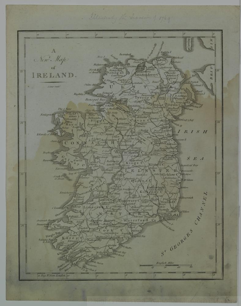
map / A New Map of Ireland, 1769
 map / A New Map of Ireland, 1769
Map of Ireland, 18th or early 19th century. Titled ‘A New Map of Ireland’. Engraved by J. Cary. (probably London). With handwritten note reading ‘Illustrating the invasion of 1769’.
Numbered in corner 22.;
A New Map of Ireland, 1769
Object Number:
HH:2013.344 (temp)
Institution:
NMI
Date:
17691850
Creator:
Carey, J.
Collections:
Subjects:
