map / Ireland, Gilbert’s Modern Atlas
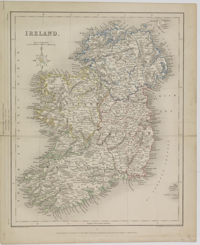 map / Ireland, Gilbert’s Modern Atlas
Map of Ireland, early 19th century. Titled ‘Ireland’. Gilbert’s Modern Atlas. Published for the proprietor by Grattan and Gilbert, map agents by appointment to the Honourable the Board of Ordnance, 51 Paternoster Row. Drawn and engraved by J. Archer of Pentonville, London. Province borders coloured.
Numbered in corner 52.;
Ireland, Gilbert’s Modern Atlas
Object Number:
HH:2013.347 (temp)
Institution:
NMI
Date:
18001850
Creator:
Archer, J.
Place of production:
London (England)
Collections:
Subjects: