map / Ireland
 map / Ireland
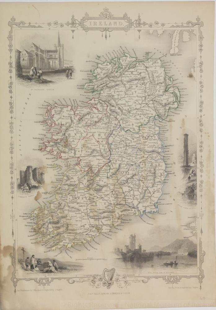
Map of Ireland, early 19th century.
Titled ‘Ireland’. With decorative shamrock borders, with harp on bottom edge, and illustrations of Irish scenes around the sides. Illustrations by J. Marchant, and engraved by J. Rogers. The map drawn and engraved by J. Rapkin. Published by J. and F. Tallis, London, Edinburgh and Dublin.
Coloured province borders. Numbered in corner 60.;
Ireland
Object Number:
HH:2013.351 (temp)
Institution:
NMI
Date:
18001900
Creator:
Tallis, J. and F.
Place of production:
London (England)
Collections:
Subjects: