map / Irlande
 map / Irlande
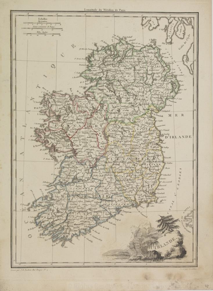
Map of Ireland, early 19th century.
Titled ‘Irlande’. Engraved by J.B. Tardieu of 9 Rue Poupee, Paris. Drawn by Giralden.
Coloured province borders. Numbered in corner 47.;
Irlande
Object Number:
HH:2013.352 (temp)
Institution:
NMI
Date:
18001900
Creator:
Giralden
Place of production:
Collections:
Subjects: