map / Ireland at the period of the Elizabethan Wars
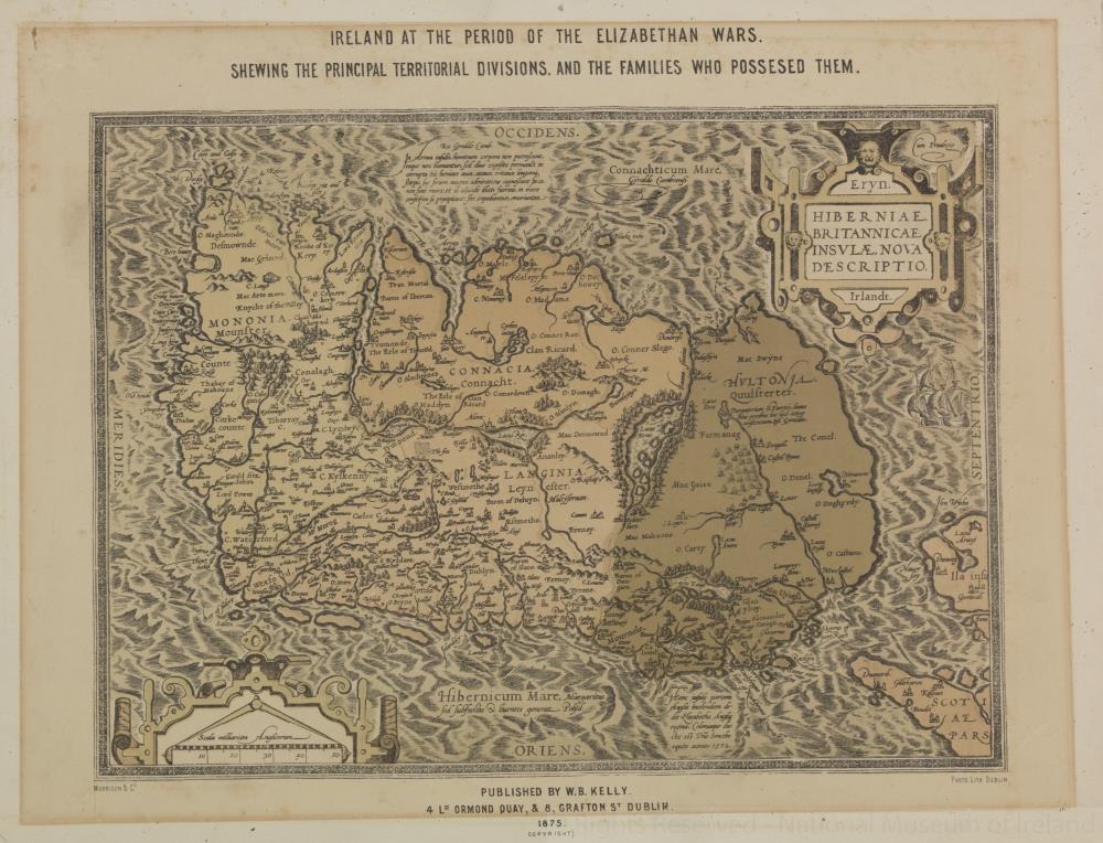 map / Ireland at the period of the Elizabethan Wars
Map of Ireland, 19th century.
Titled ‘Eryn Hiberniae Britannicae Insvlae, Nova Descriptio’. Reproduction of an Elizabethan period map of Ireland, published by W.B. Kelly, 4 Ormond Quay, and 8 Grafton Street, Dublin, 1875. Morrison and Co., photo lithograph, Dublin. Ireland at the period of the Elizabethan Wars, shewing the territorial division nand the families who possessed them.;
Ireland at the period of the Elizabethan Wars
Object Number:
HH:2013.353 (temp)
Institution:
NMI
Date:
1875
Creator:
Kelly, W.B.
Place of production:
Dublin (city)
Collections:
Subjects: