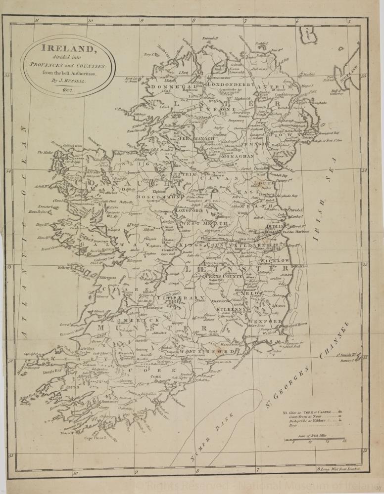
map / Ireland divided into Provinces and Counties: from the best Authorities, 1802
 map / Ireland divided into Provinces and Counties: from the best Authorities, 1802
Map of Ireland, early 19th century.
Titled ‘Ireland divided into Provinces and Counties: from the best Authorities'. By J. Russell. 1802.
Numbered in corner 37.;
Ireland divided into Provinces and Counties: from the best Authorities, 1802
Object Number:
HH:2013.359 (temp)
Institution:
NMI
Date:
1802
Creator:
Russell, J.
Place of production:
Collections:
Subjects: