map / Ireland
 map / Ireland
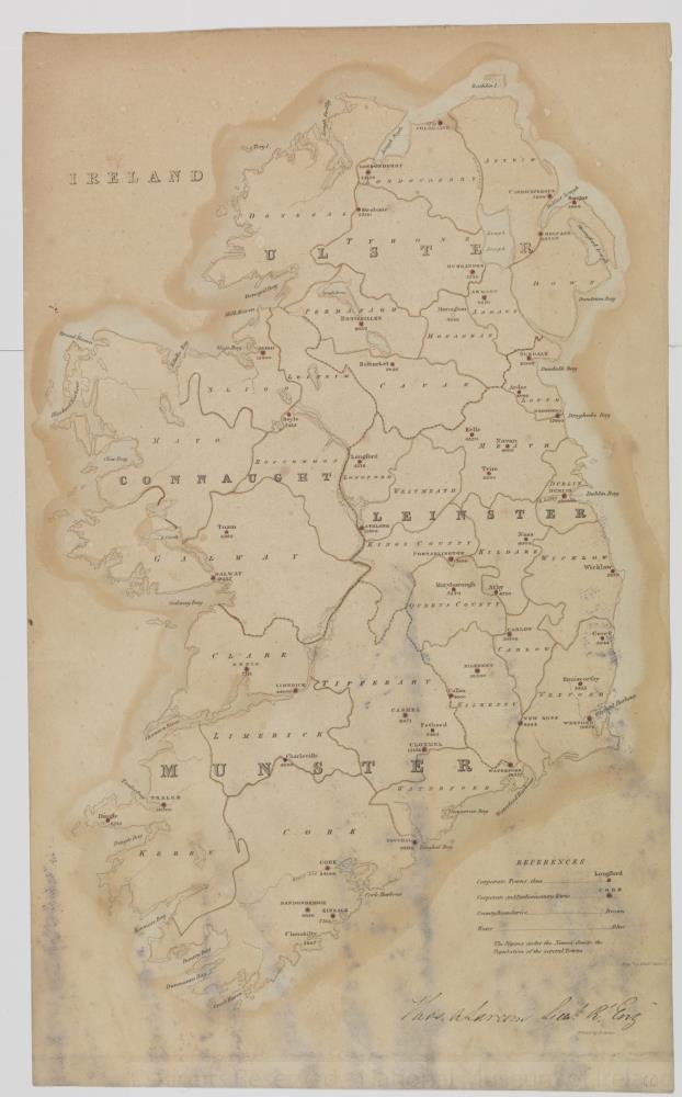
Map of Ireland, early 19th century.
Titled ‘Ireland’. Showing corporate towns, corporate and parliamentary towns, county boundaries and water. With population figures for several towns. Engraved by Michael Sancys(?). Printed by H. Martin. Signed at the end, Thomas Alaram(?), Lieutenant Royal Engineers.
Numbered in corner 66.;
Ireland
Object Number:
HH:2013.361 (temp)
Institution:
NMI
Date:
18001850
Creator:
Martin, H.
Place of production:
Collections:
Subjects: