map / A New and Accurate Map of the Kingdom of Ireland, with the Roads, from the Latest Surveys, 1782
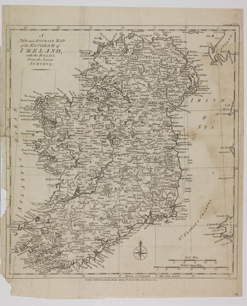 map / A New and Accurate Map of the Kingdom of Ireland, with the Roads, from the Latest Surveys, 1782
Map of Ireland, late 18th century. Titled ‘A New and Accurate Map of the Kingdom of Ireland, with the Roads, from the Latest Surveys’. Published as the Act Directs, by J. Bew, Paternoster Row, London, 30 April, 1782. Engraved by John Lodge(?).
Numbered in corner 27.;
A New and Accurate Map of the Kingdom of Ireland, with the Roads, from the Latest Surveys, 1782
Object Number:
HH:2013.364 (temp)
Institution:
NMI
Date:
1782
Creator:
Bew, J.
Place of production:
London (England)
Collections:
Subjects: