map / Ireland, Crunchley’s Improved Atlas for Schools and Families, 1841
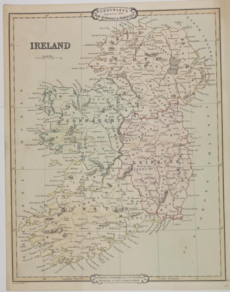 map / Ireland, Crunchley’s Improved Atlas for Schools and Families, 1841
Map of Ireland, 19th century. Titled ‘Ireland’. Crunchley’s Improved Atlas for Schools and Families. Engraved and published by G.F. Crunchley, Mapseller, 81 Fleet Street, London. 1 January 1841.
Colour. Numbered in corner 56.;
Ireland, Crunchley’s Improved Atlas for Schools and Families, 1841
Object Number:
HH:2013.366 (temp)
Institution:
NMI
Date:
1841
Creator:
Crunchley, G.F.
Place of production:
London (England)
Collections:
Subjects: