map / Ireland, 1831
 map / Ireland, 1831
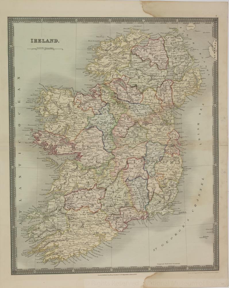
Map of Ireland, 19th century. Titled ‘Ireland’. Drawn and engraved by J. Dower, Pentonville, London. Published by Henry Teesdale & Co., 302 High Holburn, London, March 1831.
Colour. Numbered in corner 50.;
Ireland, 1831
Object Number:
HH:2013.370 (temp)
Institution:
NMI
Date:
1831
Creator:
Teesdale, Henry, & Co.
Place of production:
Collections:
Subjects: