map / Ireland (North)
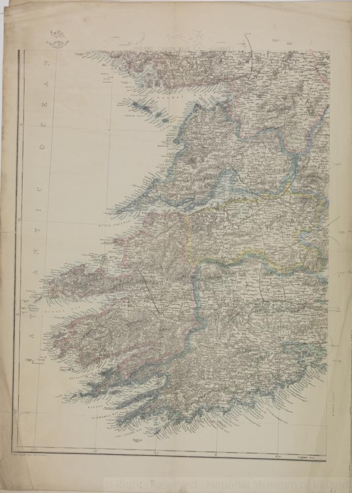
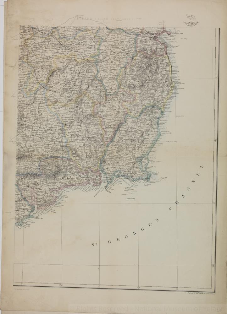
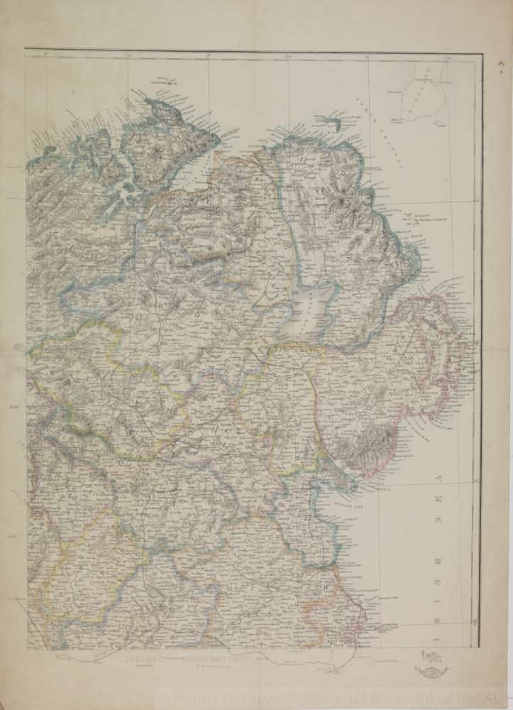
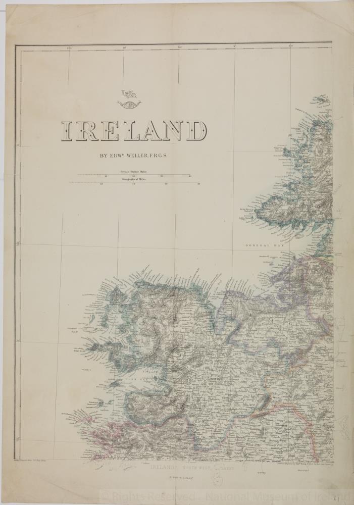
Map of Ireland, early 19th century. Titled ‘Ireland’. (North) By Edward Weller, F.R.G.S. Lithographer. Weekly Dispatch Atlas, 139 Fleet Street, London. In four sheets, north, south, east and west.
Numbered in corner 61.;
Ireland (North)
Object Number:
HH:2013.371.1 (temp)
Institution:
NMI
Date:
17801850
Creator:
Weller, Edward
Place of production:
London (England)
Collections:
Subjects: