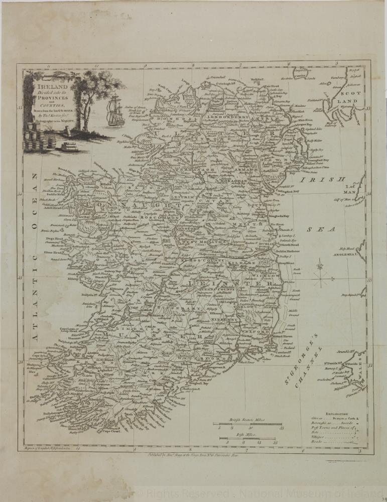
map / Ireland Divided into its Provinces and Counties, drawn from the latest surveys by Thomas Kitchen
 map / Ireland Divided into its Provinces and Counties, drawn from the latest surveys by Thomas Kitchen
Map of Ireland, early 19th century.
Titled ‘Ireland Divided into its Provinces and Counties, drawn from the latest surveys by Thomas Kitchen, Geographer , Hydrographer to His Majesty'. Published by Alex Hogg at the King’s Arms, 16 Paternoster Row, London.
Numbered in corner 34.;
Ireland Divided into its Provinces and Counties, drawn from the latest surveys by Thomas Kitchen
Object Number:
HH:2013.372 (temp)
Institution:
NMI
Date:
17801850
Creator:
Hogg, Alex
Place of production:
London (England)
Collections:
Subjects: