map / Ireland, 1855
 map / Ireland, 1855
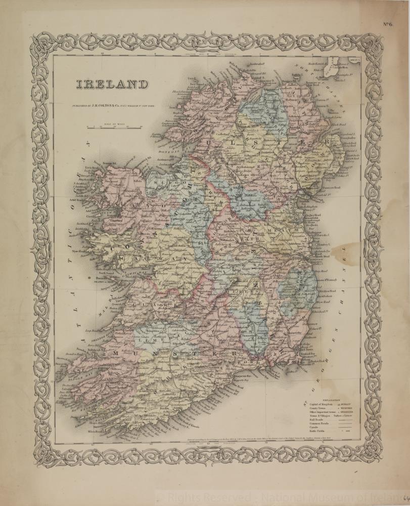
Map of Ireland, 19th century.
Titled ‘Ireland’. Published by J. Colton & Co., 172 William Street, New York, U.S.A. Entered according to Act of Congress in the year 1855, by J. Colton & Co., in the Clerks Office of the District Court of the United States for the Southern District of New York. Showing capital, county towns, other important towns, towns and villages, rail roads, common roads, canals, battle fields. With decorative border.
Colour. Numbered in corner 64.;
Ireland, 1855
Object Number:
HH:2013.374 (temp)
Institution:
NMI
Date:
1855
Creator:
Colton, J., & Co.
Place of production:
New York (state)
Collections:
Subjects: