map / Ireland, divided into Provinces, subdivided into counties, 1774
 map / Ireland, divided into Provinces, subdivided into counties, 1774
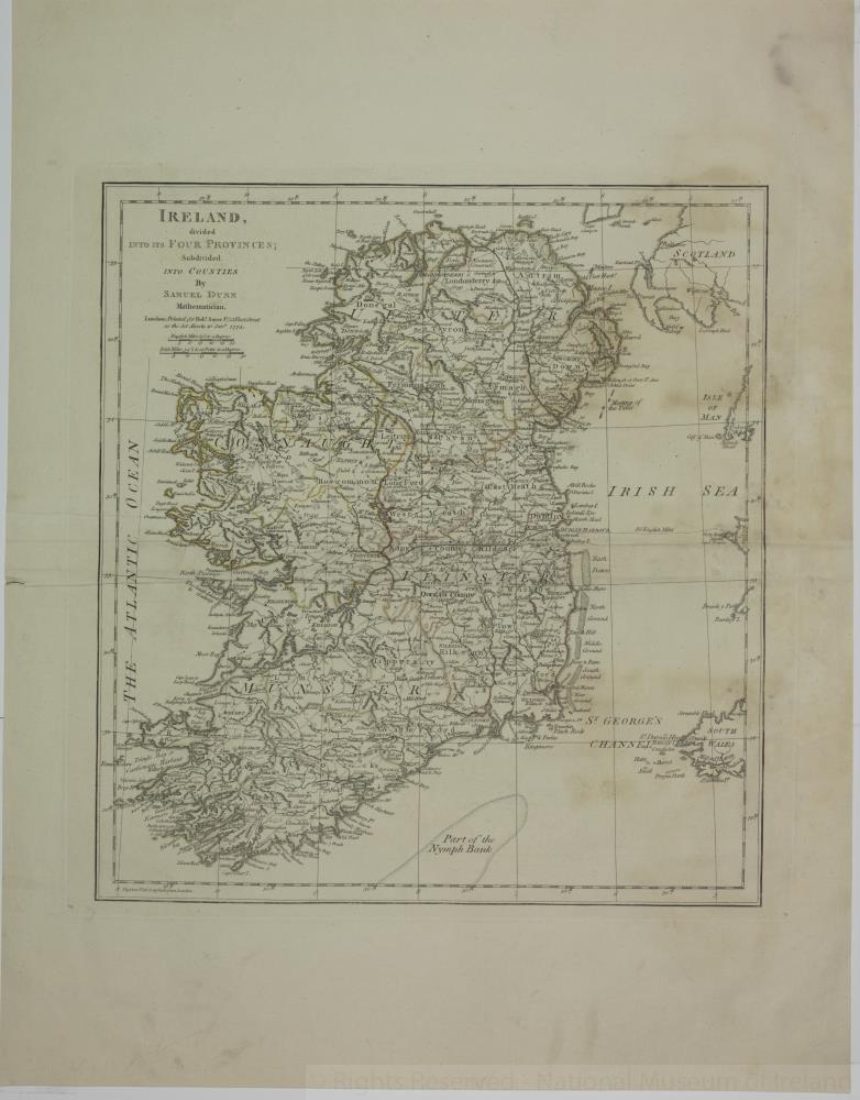
Map of Ireland, 18th century.
Titled ‘Ireland, divided into Provinces, subdivided into counties’. By Samuel Dunn, Mathematician. Printed in London for Robert Sayer of 53 Fleet Street as the Act directs, 10 January 1774.
Numbered in corner 7.;
Ireland, divided into Provinces, subdivided into counties, 1774
Object Number:
HH:2013.377 (temp)
Institution:
NMI
Date:
1774
Creator:
Dunn, Samuel
Place of production:
England
Collections:
Subjects: