map / Southern Part of Ireland, 1817
 map / Southern Part of Ireland, 1817
Map of Ireland, 19th century.
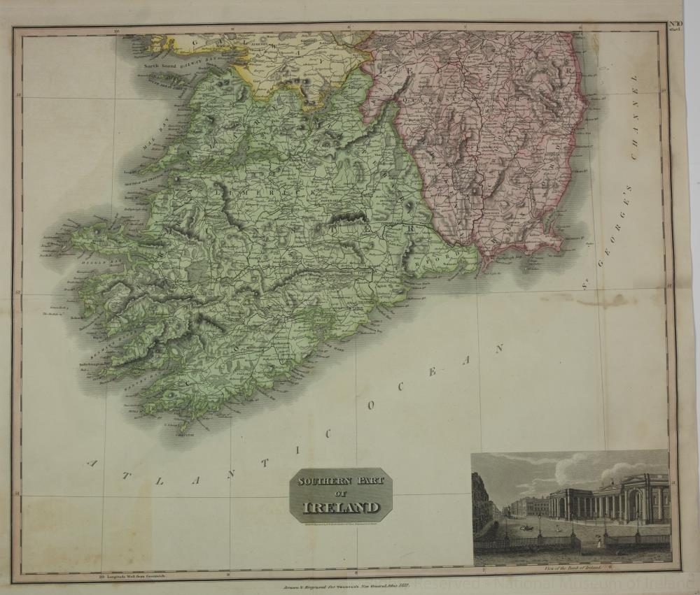
Titled ‘Southern Part of Ireland’. Drawn and engraved by N.R. Hewitt, Grafton Street East, Totenham Court Road, London. Drawn and engraved for Thompson’s New General Atlas, 1817. No. 10, Part 2. Includes a view of the Bank of Ireland, Dublin.
Colour. Numbered in corner 44.;
Southern Part of Ireland, 1817
Object Number:
HH:2013.378b (temp)
Institution:
NMI
Date:
1817
Creator:
Hewitt, N.R.
Place of production:
England
Collections:
Subjects: