map / A New Map of Ireland, 1799
 map / A New Map of Ireland, 1799
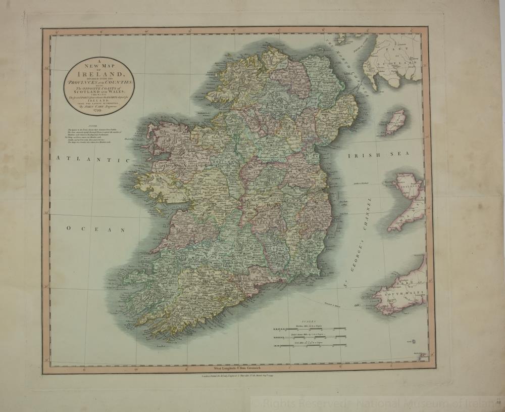
Map of Ireland, 18th century.
Titled ‘A New Map of Ireland’, divided into its Provinces and Counties; also, The Opposite Coasts of Scotland and Wales; shewing the several ports from where the packets depart for Ireland. From the latest authorities. By John Carey, engraver, 1799. Printed in London for J. Carey, engraver and map seller, No. 181 Strand, 1 August 1799.
Colour. Numbered in corner 35.;
A New Map of Ireland, 1799
Object Number:
HH:2013.381 (temp)
Institution:
NMI
Date:
1799
Creator:
Carey, J.
Place of production:
England
Collections:
Subjects: