map / Ireland
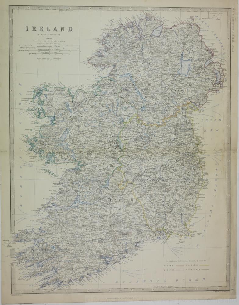 map / Ireland
Map of Ireland, 19th century.
Titled ‘Ireland’, by Keith Johnston F.R.S.E. Engraved and printed by W. and A. K. Johnston, Edinburgh. Published by William Blackwood and Sons of Edinburgh and London. For Keith Johnston’s General Atlas.
Colour.;
Ireland
Object Number:
HH:2013.389 (temp)
Institution:
NMI
Date:
18001880
Creator:
Johnston, Keith
Place of production:
Great Britain
Collections:
Subjects: