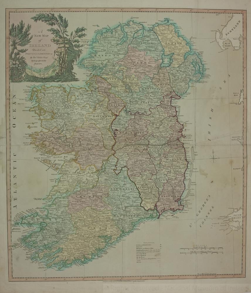
map / A New Map of Ireland’ divided into Provinces, Counties, 1798
 map / A New Map of Ireland’ divided into Provinces, Counties, 1798
Map of Ireland, late 18th century.
Titled ‘A New Map of Ireland’ divided into Provinces, Counties, by Thomas Kitchen, Geographer, Hydrographer to His Majesty. Published 12 May 1798 by Laurie & Whittle, No. 53 Fleet Street, London.
Colour. Numbered in corner 33.;
A New Map of Ireland’ divided into Provinces, Counties, 1798
Object Number:
HH:2013.402 (temp)
Institution:
NMI
Date:
1798
Creator:
Kitchen, Thomas
Place of production:
Great Britain
Collections:
Subjects: