map / Ireland, 1813
 map / Ireland, 1813
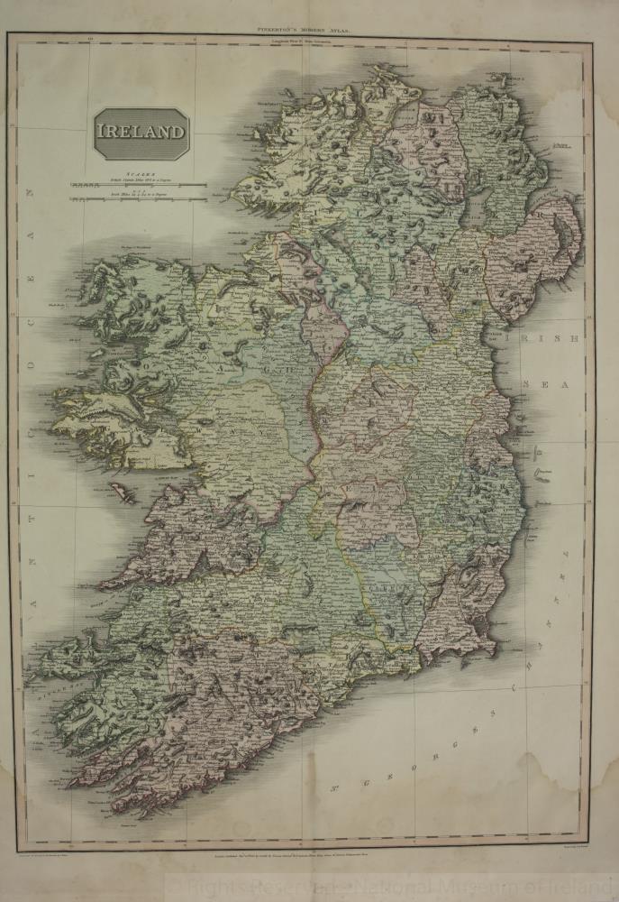
Map of Ireland, early 19th century. Titled ‘Ireland’.
Drawn under the direction of Mr Pinkerton, by L. Herbert. Engraved by Neale at 352 Strand, London. For Pinkerton’s Modern Atlas. Published 13 September 1813 by Cadell & Davies of Strand and Longman, Hurst, Rees, Orme and Brown of Paternoster Row, London.
Colour. Numbered in corner 41.;
Ireland, 1813
Object Number:
HH:2013.401 (temp)
Institution:
NMI
Date:
1813
Creator:
Neale
Place of production:
Great Britain
Collections:
Subjects: