map / Ireland, 1841
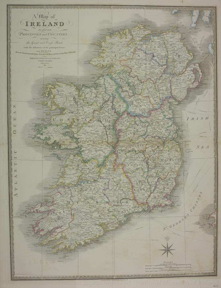 map / Ireland, 1841
Map of Ireland, 19th century.
Titled ‘A Map of Ireland’ divided into Provinces and Counties’, shewing the Great and Cross Roads, with the distances of the principle towns from Dublin. Also the Steam Communications from the Out Ports, and the average time of passage. Published by J. Wyld (successor to Mr Fadden), Geographer to His Majesty, Charing Cross East, London. 1841. Also showing some railroads.
Colour. Numbered in corner 55.;
Ireland, 1841
Object Number:
HH:2013.400 (temp)
Institution:
NMI
Date:
1841
Creator:
Wyld, J.
Place of production:
Great Britain
Collections:
Subjects: