map / Map of Ireland, 1837
 map / Map of Ireland, 1837
Map of Ireland, 19th century.
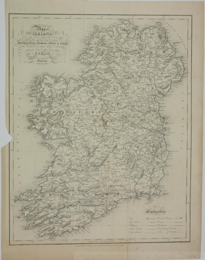
Titled ‘Map of Ireland’, divided into Provinces and Counties, shewing the Principal Roads, Railways, Rivers and Canals, and the distance in Irish Miles and Furlongs of each city and Post Town from Dublin. For Lewis’s Atlas of Ireland. Drawn by R. Creighton, engraved by I. Dower. Published by S. Lewis & Co., 87 Aldersgate Street, London, 27 June 1837.
Numbered in corner 53.;
Map of Ireland, 1837
Object Number:
HH:2013.394 (temp)
Institution:
NMI
Date:
1837
Creator:
Dower, I.
Place of production:
Great Britain
Collections:
Subjects: