map / Cork (Fermoy) Sheet XVII 12, 1905
 map / Cork (Fermoy) Sheet XVII 12, 1905
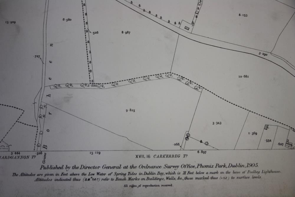
Ordnance Survey map of Cork (Fermoy) Sheet XVII 12. Showing the townlands of Newtown, Garryhintoge and part of Carkerbeg. Also showing field boundaries, houses and roads. Published by the Director General at the Ordnance Survey Office, Phoenix Park, Dublin, 1905.;
Cork (Fermoy) Sheet XVII 12, 1905
Object Number:
HH:2013.407
Institution:
NMI
Date:
1905
Creator:
Ordnance Survey Office
Place of production:
Ireland
Collections: