map / Cork Sheet 17, 1844
 map / Cork Sheet 17, 1844
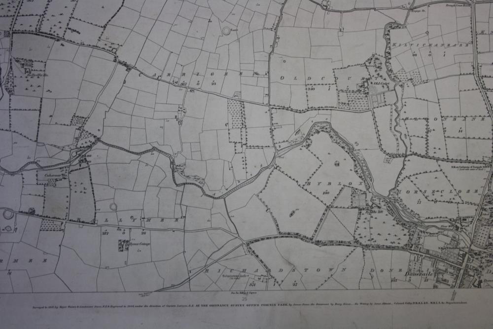
Ordnance Survey map of Cork Sheet 17. Showing various town lands and towns including Buttevant and Doneraile. Also showing field boundaries, houses and roads. Printed below the map “Surveyed in 1841 by Major Waters & Lieutenant Stace, R.E. & Engraved in 1844 under the direction of Captain Larcom, R.E. AT THE ORDNANCE SURVEY OFFICE, PHOENIX PARK, by James Jones, the ornament by Henry Dixon, the Writing by James Aikman. Colonel Colby F.R.S.I. & F. M.R.I.A. &c. Superintendent”.;
Cork Sheet 17, 1844
Object Number:
HH:2013.410
Institution:
NMI
Date:
1844
Creator:
Ordnance Survey Office
Place of production:
Ireland
Collections: