map / London & Westminster
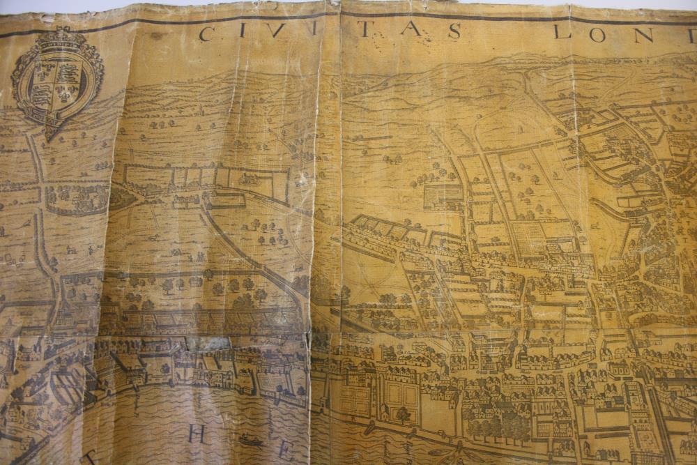
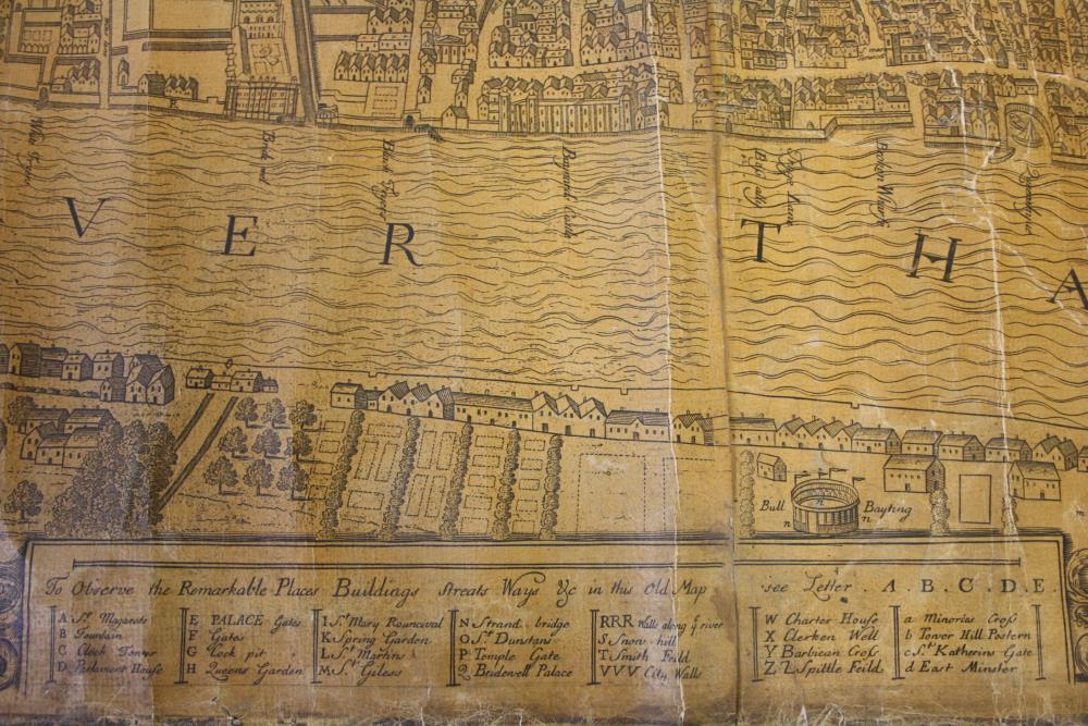
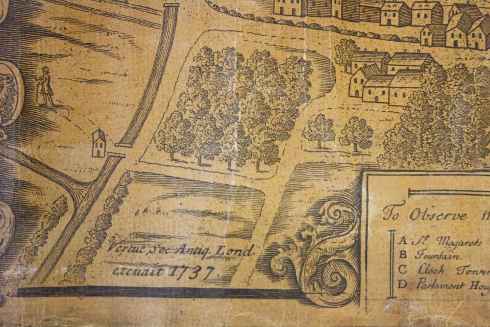
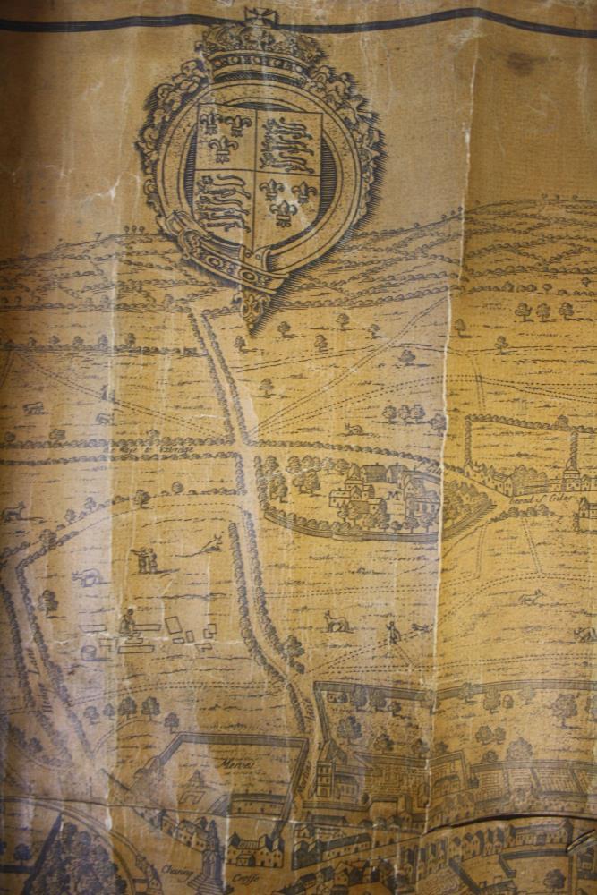
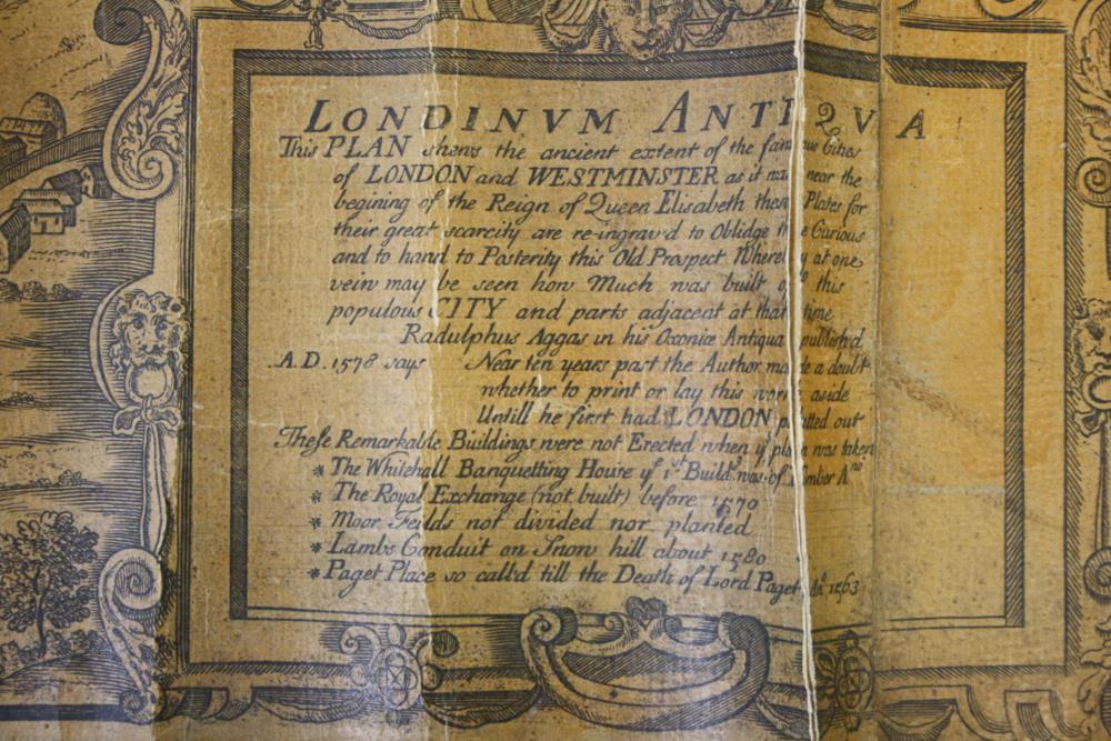
A map of London and Westminster as it was near the beginning of the reign of Queen Elizabeth. Information printed would suggest the first date of publication of this plan was circa 1568. This print possibly published 1737.
River Thames, houses, buildings and roads shown. With key using letters corresponding to places of interest. Mounted on a wooden hanging pole.;
London & Westminster
Object Number:
HH:2013.406
Institution:
NMI
Date:
1737
Creator:
Place of production:
Great Britain
Collections: