map / Hill of Tara, 1911
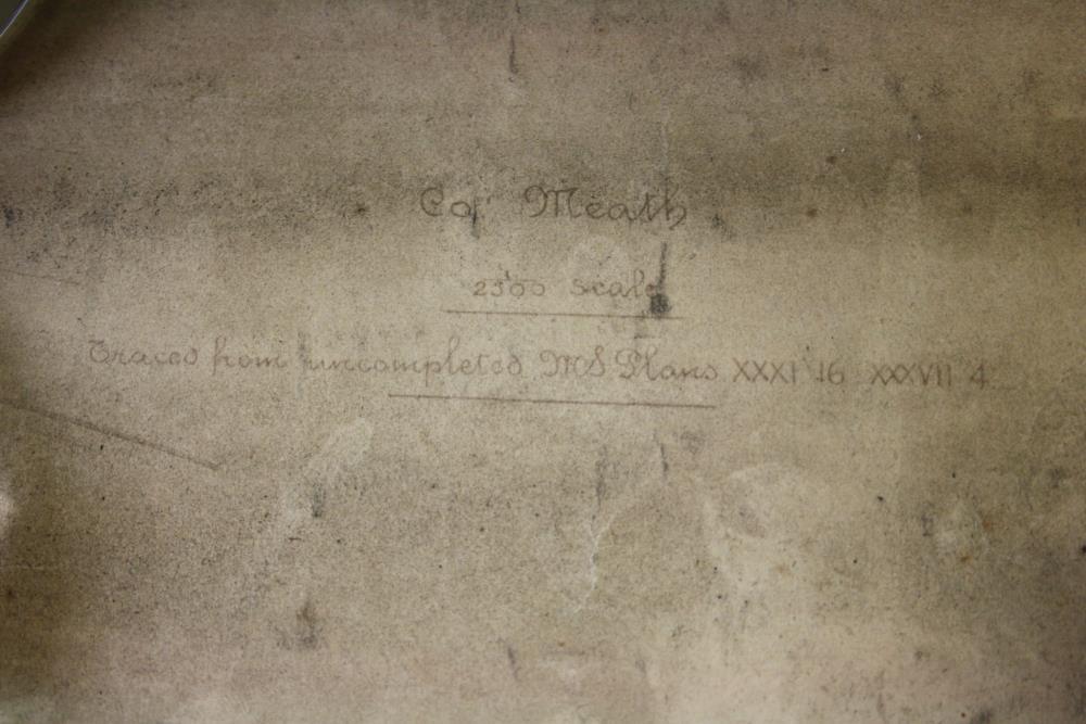
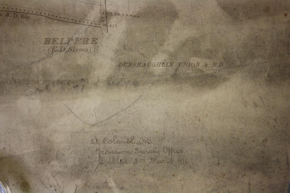
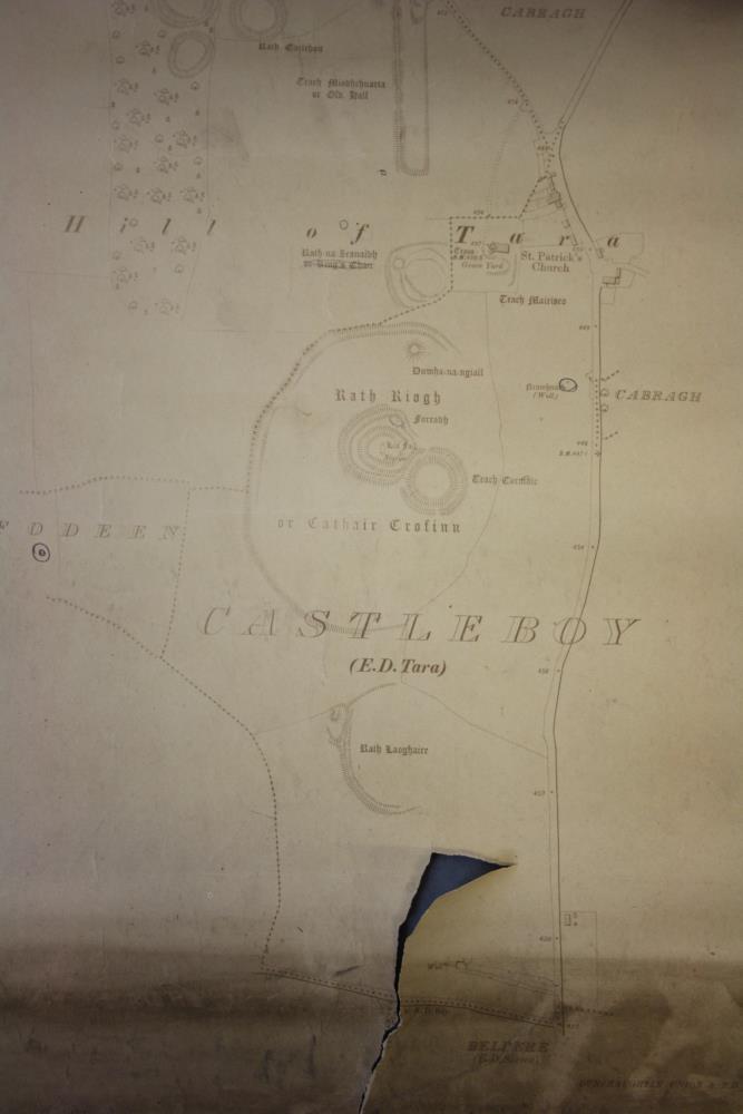
Ordnance Survey map, section, showing the Hill of Tara and surrounding area. 2300 scale. Traced from the original manuscript plans XXXI 16 XXXVII 4. Ordnance Survey Office, 1911.;
Hill of Tara, 1911
Object Number:
HH:2013.416
Institution:
NMI
Date:
1911
Creator:
Ordnance Survey Office
Place of production:
Dublin (city)
Collections:
Subjects: